The World Data Atlas offers you an expanding collection of topics, presented by different organizations and individuals. You can browse their stories, get the underlying data and use the dynamic map display in your own work.
Browsing between topics you will notice the way colors, map types and content presentation vary. Every organization chooses its own way to present you its information.
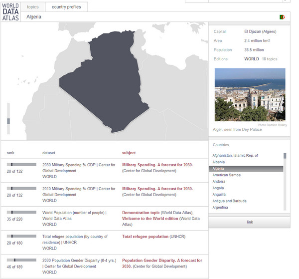
Each edition of the World Data Atlas is based on a specific map canvas. The World edition for example shows topics using a world map with countries. Every country also has a separate edition, with a map of the states, provinces or other sub-national areas as the canvas.
• Click the "Country Profile" tag on homepage
• Download the data of a topic as an excel file or an image of the map.
• Use the map widget to embed the map section of a topic in your own website.
• Link directly to a topic you like.
• Follow a topic and get updates.